An official goes over the latest data represented on the map
Dubai’s base map updated, 3D images of government facilities created
Aerial photography, artificial intelligence will aid officials to constantly update map
Last updated:
2 MIN READ
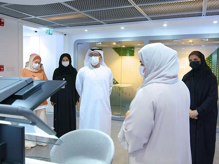
Dawoud Al Hajri (centre), director-general of Dubai Municipality, being briefed about the project
Supplied
Dubai: Dubai Municipality (DM) has updated the base map of the emirate of Dubai through its GIS Centre, along with the inventory of government assets across the emirate, the civic body announced on Tuesday.
What is a base map?
A base map is a rendering of several ‘layers’ of data - such as streets, buildings, rivers, green areas - as seen when put together in one image.
Dawoud Al Hajri, director-general of Dubai Municipality, gave prominence to the initiative during his briefing, where he learned of the major projects and operations of the centre for 2022. The initiative focused on the development of a database and dictionary of assets, which would be updated through aerial photographs as well as internally at the centre, through field surveys for strategic partners’ assets.
The update process is in line with Dubai Municipality’s goal to provide partners with services and geospatial maps using the latest technology. This is in accordance with the best approved international standards and the directives of Dubai’s wise leadership, the municipality said. DM facilitated the systematic collection and compilation of a geospatial database, which will be updated regularly.
3D models
The project included updated data for Dubai’s Digital Surface Model (DSM) and Digital Terrain Model (DTM), along with the updated geospatial data and green areas collected using geospatial artificial intelligence (AI) technology.
In addition, the GIS Centre now owns the first ‘PluraView’ unit in Dubai, where staff members were trained to take advantage of the technology to construct three-dimensional models from aerial images, based on corrected measurements for quality control and data extraction.
Al Hajri said: “The municipality, through its GIS Centre, is keen to provide services and geospatial maps to partners using the most advanced technologies, following internationally accepted standard practices and the wise leadership’s directives. We truly recognise the importance of geospatial projects, operations, and initiatives, including the update process of the base map project, as it plays a crucial role in planning and development of the infrastructure in the emirate.”
The project, which utilises aerial photography and the 3D PluraView three-dimensional stereo device, to cover all of Dubai with an accuracy of 10-15 cms, is considered to be one of the centre’s most important projects. “The municipality’s efforts are certain to enhance the Emirate’s geospatial projects and improve the asset database across the region,” it added.
Sign up for the Daily Briefing
Get the latest news and updates straight to your inbox
Network Links
GN StoreAbout Gulf NewsTerms & ConditionsReach by GNSitemapContact usPrivacy PolicyGN FocusHave your sayWork with usAdvertise with usGulf News epaperPrinting Services
Download our app
© Al Nisr Publishing LLC 2026. All rights reserved.