New storm may hit Philippines as a 'super typhoon' — Pagasa
Storm 'Uwan' expected to slow down and may 'at times, behave erratically'
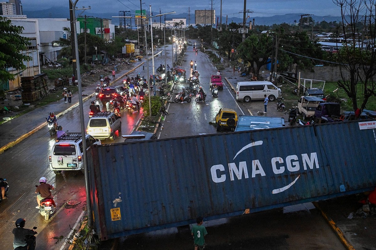
Manila: Just as Typhoon Tino (Kalmaegi) exited the country on Wednesday, a new tropical depression brewing off northeastern Mindanao may enter the Philippine Area of Responsibility (PAR) by Friday or Saturday — and could intensify into a "super typhoon" over the weekend, the state weather bureau warned.
As of Thursday 2pm, the weather disturbance was estimated to be 1,580 km east of Eastern Samar, outside PAR, and moving west-southwestward at 20 km/h, according to a 5am (November 6) forecast of Philippine Atmospheric, Geophysical and Astronomical Services Administration (Pagasa).
Pagasa Administrator Nathaniel Servando told local media that the system was expected to slow down and may “at times, behave erratically.”
“On the track forecast, it may enter the PAR region on Friday evening or on Saturday,” Servando said.
Once inside PAR, the cyclone will be named ‘Uwan,’ becoming the 21st tropical cyclone to enter the country this year, he added.
Landfall scenario
Citing Pagasa’s threat potential forecast, Servando noted that a landfall scenario over the country cannot be ruled out.
“However, the exact landfall location and time remains highly uncertain,” he said.
The tropical system is forecast to intensify while over the Philippine Sea, possibly reaching typhoon category by Thursday and strengthening into a super typhoon over the weekend, Servando said.
Pagasa also warned that, due to the combined effects of the tropical cyclone and the northeast monsoon (amihan), rough to very rough sea conditions may affect the northern and eastern seaboards of the country starting Saturday.
Network Links
GN StoreDownload our app
© Al Nisr Publishing LLC 2026. All rights reserved.