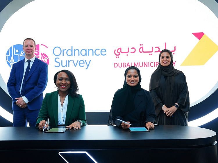
Officials at the signing ceremony of contracts between Dubai Municipality and Ordnance Survey, Great Britain’s national mapping agency
Dubai Municipality, Ordnance Survey sign geospatial agreements
Contracts aim at developing construction system to make Dubai happiest city in the world
Last updated:
2 MIN READ
Officials at the signing ceremony of contracts between Dubai Municipality and Ordnance Survey, Great Britain’s national mapping agency
Dubai: Dubai Municipality has signed two contracts with Ordnance Survey, Great Britain’s national mapping agency, to benefit from global geospatial expertise and support teams working in monitoring activities, buildings permits, survey services, executive planning, and geographic information systems.
Paul French, Ordnance Survey chief commercial officer, said: “Dubai Municipality is at an exciting time in expanding its capabilities. We are pleased to be contracted to support the organisation in transforming the construction sector.
“Our partnership with Dubai Municipality will continue for 12 months, during which we will work on assessing, developing and implementing a sustainable roadmap, which will enable the municipality to successfully complete the transformational process and provide better services to its clients in the sector of building and construction within the public and private sectors,” he added.
French noted: “We play an advisory role by providing the necessary expertise in the sector of land and property life cycle management. The key to success lies in cooperation and reliance on the existing expertise within the Building Regulation and Permits Agency, while providing knowledge from both Ordnance Survey, and pioneers in this sector globally.”
Pioneering systems
Engr Maryam Obaid Almheiri, CEO of the Buildings Regulation & Permits Agency, said: “The agency aims to develop, regulate, and manage the system of construction activities in the Dubai, and implement pioneering systems to serve the city, develop executive planning, survey and construction services. Our partnership with Ordnance Survey and other internationally recognized consultancy firms supports us achieving our goals.”
A second contract was also extended between the GIS Centre Department (GISCD) of Dubai Municipality and Ordnance Survey, with the aim of implementing the geospatial development strategy over several years, after the success achieved by the previous contract during the past two years.
Digital twin
The next step is to start the pilot phase of new technologies and to employ them to benefit its citizens. The third year of the contract will see the activation of new platforms for extracting, managing, and exchanging geospatial data, enabling GISCD to provide the government, companies and citizens in Dubai with richer and up-to-date geographic data, enhancing Dubai’s efforts to achieve its goals in the areas of innovation, Digital Twin and sustainability.
Maitha Ali Al Nuaimi, acting director of GISC department said: “Dubai is one of the fastest growing cities in the world and GISCD’s strategy will provide an up to date ‘digital twin’ of the emirate.
Sign up for the Daily Briefing
Get the latest news and updates straight to your inbox
Network Links
GN StoreAbout Gulf NewsTerms & ConditionsReach by GNSitemapContact usPrivacy PolicyGN FocusHave your sayWork with usAdvertise with usGulf News epaperPrinting Services
Download our app
© Al Nisr Publishing LLC 2026. All rights reserved.