Eyes in the sky: Pakistan’s new satellite goes live to power progress
High-tech remote sensing satellite to boost agriculture and disaster response
Eyes in the Sky: Pakistan’s new satellite goes live to power progress
High-tech remote sensing satellite to boost agriculture, disaster response, and development across the nation
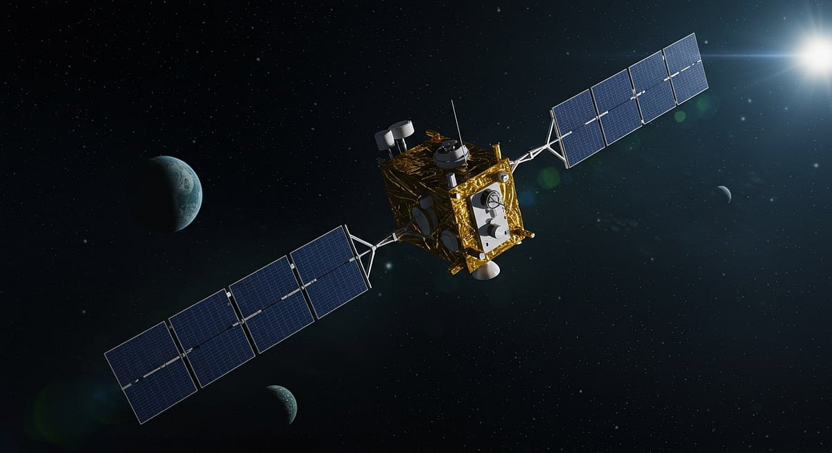
DubaiL Pakistan’s newest remote sensing satellite, launched last month from China’s Xichang Satellite Launch Centre, is now fully operational, the Space and Upper Atmosphere Research Commission (Suparco) confirmed.
The satellite has successfully established stable communication with ground stations and is transmitting high-resolution imagery, poised to revolutionise decision-making in key sectors including urban development, precision agriculture, disaster management, and climate monitoring.
Orbiting earth
This latest addition joins an expanding fleet of Pakistani satellites orbiting Earth. One of the earliest, the Pakistan Remote Sensing Satellite-1 (PRSS-1), launched in 2018, continues to operate in Sun-Synchronous Low Earth Orbit (LEO), providing free satellite imagery for academic research. In 2025, PAUSAT-1, a collaborative project between Pakistan Air University and Istanbul Technical University, was also launched, underscoring the growing role of academic institutions in space research.
Major milestone
Earlier this year, Pakistan celebrated a major milestone with the launch of its first fully indigenous satellite, PRSC-EO1, an electro-optical Earth observation satellite developed entirely by local engineers at Suparco. Launched in January 2025, PRSC-EO1 represents a critical step toward self-reliance in space technology, APP reported.
Newest satellite
According to Suparco, the newest satellite is equipped with advanced imaging capabilities that can monitor urban sprawl, track infrastructure growth, and support smarter regional planning. For a disaster-prone country like Pakistan, the satellite’s real-time data will also enhance early warning systems and rapid response efforts in the event of floods, earthquakes, and landslides.
Environmental scientists will gain a powerful tool to study glacier melt, deforestation, and long-term climate change, vital in a region deeply affected by global warming. The satellite is also expected to significantly advance precision agriculture by mapping crop cycles and optimising irrigation and water use, critical for food security in an increasingly resource-stressed region.
Strategic initiative
The satellite will contribute to strategic initiatives such as the China—Pakistan Economic Corridor (CPEC) by supporting infrastructure development, resource allocation, and geohazard risk management.
“These capabilities collectively enhance national decision-making, promote sustainable socio-economic development, and strengthen Pakistan’s technological autonomy,” Suparco stated.
With multiple successful launches in recent years and a growing emphasis on domestic innovation, Pakistan’s space program is fast emerging as a key player in regional space and Earth observation initiatives.

Sign up for the Daily Briefing
Get the latest news and updates straight to your inbox
Network Links
GN StoreDownload our app
© Al Nisr Publishing LLC 2026. All rights reserved.