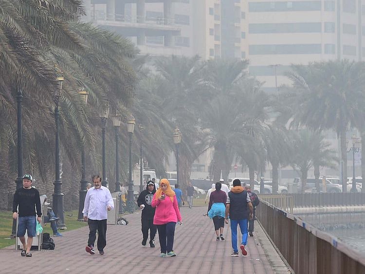
Dubai: Winter in the UAE usually brings welcome relief from the heat. This year, it could also bring more rain than usual, as one of the world's most influential climate patterns approaches its expected peak.
El Niño, which develops when large areas of the tropical Pacific Ocean become unusually warm, is forecast to reach very strong levels in October and November, potentially influencing temperatures and rainfall across the Emirates well into next spring.
Get updated faster and for FREE: Download the Gulf News app now - simply click here.
The National Centre of Meteorology (NCM) puts the probability of El Niño conditions at 96 per cent between November 2026 and March 2027, with temperatures and rainfall in the UAE expected to be near or above their seasonal averages.
What makes the forecast particularly relevant is the possibility of more significant weather later in the season, although the centre has stopped short of predicting any specific storms.
There are early signs of what the coming winter could bring to the UAE, but predicting local weather from changes in the Pacific Ocean remains far from straightforward.
How can El Niño affect the weather in the UAE?
The connection begins thousands of kilometres away, in the tropical Pacific, where changes in ocean temperatures can alter atmospheric circulation and influence weather patterns around the world.
El Niño is part of a natural climate cycle known as the El Niño–Southern Oscillation, or ENSO. Its effects vary considerably from one region to another, bringing wetter conditions to some areas while contributing to drought in others.
In the UAE, its influence is less direct but potentially significant, particularly during winter, when much of the country's annual rainfall occurs.
Research by scientists at New York University Abu Dhabi has found that El Niño years tend to be associated with stronger flows of atmospheric moisture from the Red Sea and Arabian Sea towards the Arabian Gulf.
Combined with changes in upper-level winds and weather systems moving across the region, that additional moisture can help create conditions favourable for rainfall.
But the presence of El Niño alone is not enough to produce a storm. Rain still depends on local atmospheric conditions, including the availability of moisture, unstable air and weather systems capable of generating clouds and precipitation.
Does this mean the UAE will receive more rain?
The NCM's seasonal outlook suggests that rainfall could be near or above average between November and March, but it does not specify how much additional rain the country might receive.
Nor does it mean that rain will fall more frequently throughout the winter.
A season can finish wetter than average because of a handful of heavy downpours, even if many days remain dry.
Rainfall in the UAE can also vary sharply between locations, with one area experiencing intense thunderstorms while nearby districts receive little or no rain.
The centre has identified the possibility of significant weather activity towards the latter part of the forecast period, suggesting that residents should pay particular attention to forecasts as winter gives way to spring.
Whether those conditions develop will depend on atmospheric factors that cannot be determined months in advance.
Could the UAE experience another storm like April 2024?
The possibility of heavier rainfall is likely to bring back memories of April 16, 2024, when the UAE experienced its heaviest recorded rainfall since meteorological records began in 1949.
The unprecedented downpours flooded roads, disrupted flights and brought parts of Dubai and other emirates to a standstill.
The NCM recorded 254.8 millimetres of rainfall at Khatm Al Shakla in Al Ain in less than 24 hours, while several other areas experienced exceptionally heavy rain.
However, there is no indication in the latest seasonal outlook that another storm of similar magnitude is expected.
Studies of the April 2024 event have identified a combination of powerful atmospheric disturbances and abundant moisture, with unusually warm surrounding seas contributing to the intensity of the rainfall.
El Niño can influence the climate conditions in which such storms develop, but it cannot by itself explain or predict an individual extreme weather event.
For that reason, a very strong El Niño should not be taken as evidence that the UAE is heading towards another record-breaking flood.
Will the UAE also have a warmer winter?
Alongside the possibility of more rain, the NCM expects temperatures across the Emirates to be near or above seasonal averages.
That could translate into a winter that is warmer overall than usual, although cooler days and nights would still be possible.
The centre's report provides an indication of El Niño's strength through measurements of sea-surface temperatures in the tropical Pacific.
The latest reading of the Niño 3.4 index stood at 2.3°C above normal, while climate models indicate the anomaly could approach 3°C during October and November.
Under the classification used in the report, an anomaly above 2°C places El Niño in the very strong category.
Those figures, however, measure how much warmer the Pacific Ocean is than its usual temperature. They do not mean temperatures in the UAE will rise by 2.3°C or 3°C.
The NCM has not provided a specific temperature increase for the Emirates during the forecast period.
What does the 96 per cent probability mean?
The 96 per cent figure is one of the most striking details in the report, but it needs to be understood in context.
It represents the forecast probability of El Niño conditions during the November-to-March period, not the likelihood of heavy rainfall or flooding in the UAE.
Meteorologists can predict the development of major oceanic climate patterns months ahead, but their effects on local weather remain less certain.
Even during particularly strong El Niño episodes, rainfall can be influenced by other regional and global weather systems that either strengthen or weaken the expected effects.
A high probability of El Niño therefore does not translate into an equally high probability of severe weather.
What should residents expect in the coming months?
For UAE residents, the practical implications will become clearer as shorter-range forecasts identify the weather systems approaching the country.
A potentially wetter season could bring periods of heavy rain affecting traffic, outdoor activities and travel, particularly in areas vulnerable to water accumulation or flash flooding.
Motorists should pay attention to official warnings during unsettled weather, avoid flooded roads and wadis, and allow additional time for journeys when heavy rain is forecast.
The NCM will continue monitoring El Niño and updating its assessment monthly as new ocean temperature readings and climate projections become available.
For now, the outlook points to a winter that could be warmer and wetter than usual, with a chance of more significant weather later in the season.
What remains uncertain is how much rain will fall, where it will be concentrated and whether the atmospheric conditions needed for a major storm will come together.
Network Links
GN StoreDownload our app
© Al Nisr Publishing LLC 2026. All rights reserved.