San Francisco: Adding to the plethora of new features that Google has been introducing to Maps, the search-engine giant would now predict transit crowdedness of buses and trains for passengers.
The new feature has already been made available in around 200 cities around the globe, The Verge reported on Thursday.
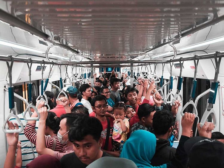
The search-engine giant is basing these details on past rides and for months and has been asking some people who use Maps to provide additional details about the level of crowdedness of their transit trips.
After completing their trips, riders were given four options: many empty seats, few empty seats, standing room only or cramped standing room only.
Now that the company has collected enough data, it has begun offering predictions to customers who use Maps to plan their daily commute.
In addition, Maps is also launching live traffic delays for buses in places where commuters do not already have real-time information direct from local transit agencies.
According to the report, users would now be able to see if their buses are running late, how long would the delay last and other more accurate travel times based on live traffic conditions along the route.
These new features come on top of a range of updates rolled out to Maps in the past few months, including Incognito mode, real-time speeds, parking locations and traffic jam crowdsourcing.
Earlier this week, Google also rolled out the ‘Stay Safer’ feature in India that would alert Android users travelling in public vehicles if their drivers deviate more than 0.5km from the suggested route on Maps.
Sign up for the Daily Briefing
Get the latest news and updates straight to your inbox
Network Links
GN StoreAbout Gulf NewsTerms & ConditionsReach by GNSitemapContact usPrivacy PolicyGN FocusHave your sayWork with usAdvertise with usGulf News epaperPrinting Services
Download our app
© Al Nisr Publishing LLC 2026. All rights reserved.