Saudi Arabia expands seismic and volcanic monitoring network with over 300 stations
Network includes 229 seismographs, 92 ground acceleration sensors, dozens of instruments
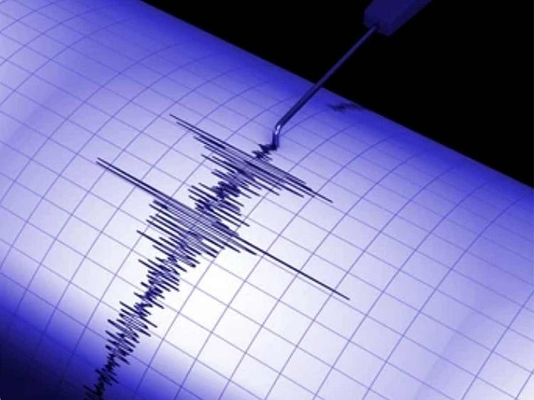
Dubai: Saudi Arabia is strengthening its seismic and volcanic monitoring capacity, with more than 300 stations now spread across the Kingdom, the Saudi Geological Survey (SGS) announced. Officials say the National Seismic and Volcanic Monitoring Network ranks among the most extensive systems in the region.
The network includes 229 seismographs, 92 ground acceleration sensors, and dozens of instruments tracking crustal deformation, volcanic gas emissions, and water flow in high-risk zones. Many of the stations are located in areas with thin crust, active fault lines, and volcanic fields known as harrats, in addition to vital economic and developmental sites.
SGS spokesman Tariq Aba Al Khail said the system is designed to provide both early warning and long-term data, supporting earthquake preparedness, risk assessment, building code updates, and public safety planning across the Arabian Peninsula.
Network Links
GN StoreDownload our app
© Al Nisr Publishing LLC 2026. All rights reserved.