UAE engineers lead launch of Arab world's first joint satellite '813'
813 is the first Arab satellite to be fully managed from Emirati soil
Abu Dhabi: A team of 30 Emirati engineers has led the development of 813, the Arab world’s first joint satellite project, marking a historic milestone in regional space cooperation, Al Etihad newspaper reported.
The initiative, hosted by the National Space Science and Technology Center (NSSTC) at UAE University in Al Ain, demonstrates the UAE’s leadership in space science and the ability of its national talent to drive complex, multinational projects from design to launch.
Launched as part of the Arab Space Cooperation Group’s first meeting in 2020, the 813 satellite represents a strategic effort to enhance scientific collaboration among Arab nations in the field of remote sensing. The satellite will monitor environmental and climate changes and support sustainable development efforts across the region.
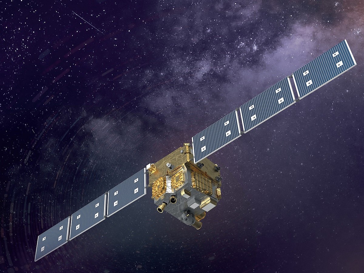
The Emirati engineering team supervised environmental testing, subsystem calibration, and optical and electronic system validation using advanced international technologies to ensure the satellite’s reliability and precision.
The NSSTC noted that its state-of-the-art clean rooms and testing facilities enabled the assembly and final integration of the satellite locally, emphasising that every stage of development, from conceptual design to testing, was managed by young Emirati engineers trained through specialised programmes in the United States and Europe.
813 is the first Arab satellite to be fully managed from Emirati soil and built using advanced national technologies, in cooperation with nine Arab space agencies participating in the initiative.
Its design was developed in the UAE and refined through collaboration with regional partners, symbolising a new era of collective scientific capability in the Arab world.
The satellite is equipped with multispectral imaging systems capable of capturing high-resolution images across wide areas of the Arab region.
These data will help track climate patterns, monitor vegetation and water resources, study desertification, and assess air quality, contributing to joint environmental and research projects that benefit all participating nations.
The NSSTC described the mission as a “turning point for the UAE’s space industry”, showcasing the confidence placed in national talent to lead major regional projects.
The centre added that the success of 813 reinforces the UAE’s growing role as a regional hub for space science and technology, fostering Arab expertise in satellite design, manufacturing, testing, and data analysis.
Weighing less than most multispectral satellites of its class, 813 combines efficiency, precision, and innovation, serving as both a scientific tool and a training platform for the next generation of Arab space engineers.
Network Links
GN StoreDownload our app
© Al Nisr Publishing LLC 2026. All rights reserved.