Ajman Bus Routes
Ajman transport makes commuting easier with new upgraded public transport map
New map simplifies bus, intercity, abra routes – see how it enhances your daily commute
Last updated:
3 MIN READ
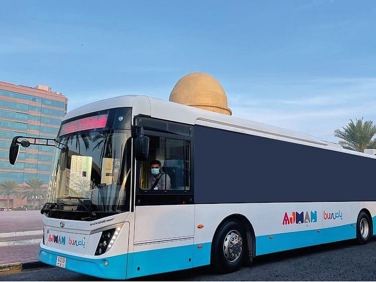
Ajman Transport Authority announced the launch of an upgraded transportation map, which offers a detailed overview of all bus routes, intercity services, and abra (water taxi) routes
Supplied
Dubai: Navigating public transport in Ajman has just become easier. On Tuesday, October 8, the Ajman Transport Authority announced the launch of an upgraded transportation map, which offers a detailed overview of all bus routes, intercity services, and abra (water taxi) routes, allowing users to quickly locate nearby stations and switch buses seamlessly.
How does the upgraded map help public transport users?
• Comprehensive coverage: The map now shows bus routes that not only cover key areas within Ajman but also offer direct connections to neighbouring emirates like Dubai and Sharjah. It also highlights bus stops near prominent landmarks, ensuring smoother travel.
• Clear and user-friendly design: The map features a distinctive layout and a colour-coded scheme to make it simple for users to track their routes and choose the most suitable options for daily travel. This enhanced design aims to streamline the public transport experience.
• Marine transport: In addition to bus services, the map showcases marine transport routes, including abra stations, providing added flexibility for commuters.
• On-demand bus service: Users can also view the routes for Ajman's on-demand bus service, offering further convenience.
How to access the map
To view or download the updated map, visit the official Ajman Transport Authority website - www.ta.gov.ae. Navigate to the ‘Public Transport Bus Schedule’ section on the homepage, then select ‘Ajman Bus Network’ to access the map. You can download it directly to your phone and use it offline for easier navigation.
Understanding the map
Here is a quick breakdown to help you navigate the map:
Bus routes – Each bus route on the main map is represented by a distinct colour and has a unique reference number. Identify your route by colour and number to understand its path and stops.
Intercity bus routes – Travelling to a different emirate? Look for the separate, simplified map that marks intercity bus routes, by scrolling down further.
Ajman Intercity Bus Routes
Maritime routes – Blue lines on the map indicate maritime stations and their respective routes.
Ajman Marine Transport Routes
How to use the map
For bus routes within Ajman:
• Find the nearest bus stop on the map.
• Identify the bus route that serves your location by noting the reference number and colour.
• Follow the coloured line on the map to track the route and see if a transfer is needed. Make a note of the station where you may need to switch buses.
Example: If you are at Al Musalla Bus Station (B4) and want to reach Emirates City (J6), take route AJ3 (dark green line) from Al Musalla Bus Station (B4) to ADNOC Al Muntazi (G6). From there, switch to route AJ3F (purple line) to reach Emirates City (J6).
For intercity travel:
To travel to other emirates, head to Al Musalla Bus Station, the main hub in Ajman for intercity buses. Identify your bus route number and colour. For instance, the E400 route (brown line) runs between Al Musalla Bus Station and Union Bus Station in Dubai.
Sign up for the Daily Briefing
Get the latest news and updates straight to your inbox
Network Links
GN StoreAbout Gulf NewsTerms & ConditionsReach by GNSitemapContact usPrivacy PolicyGN FocusHave your sayWork with usAdvertise with usGulf News epaperPrinting Services
Download our app
© Al Nisr Publishing LLC 2026. All rights reserved.