Making a case for ‘synthetic aperture radar’ satellites in UAE’s maritime sector
These new—age satellites can do their part to track maritime pollution and more
It's time for the International Maritime Organisation (IMO)'s annual World Maritime Day, an event established by the UN to celebrate the shipping trade and recognise the importance of shipping safety, maritime security, and the marine environment.
This year, the ‘World Maritime Day’ celebrates 50 years of the International Convention for the Prevention of Pollution from Ships (Marpol). Much of the focus will be on practical ways in which the shipping industry and its stakeholders can help prevent pollution of the marine environment by ships – whether through operations or accidents.
Minimising pollution in UAE maritime sector
The UAE's 1,650 kilometers of coastline and its strategic location at a major global shipping crossroads makes shipping one of the most important industries in the UAE, and contributes more than Dh90 billion to its GDP. Given the size of the industry, reducing pollution from the maritime trade is essential to protecting marine biodiversity and the health of UAE citizens. (Approximately 42 per cent of the UAE’s drinking water comes from desalination plants).
Keeping UAE's waters clean is also essential to supporting the nation's burgeoning aquaculture and fisheries industries, which are forecast to grow from $20.76 billion in 2023 to $26.62 billion in 2028.
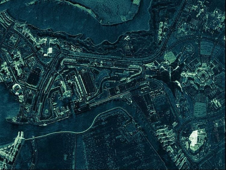
As the shipping industry and public sector bodies consider how best to minimise pollution from commercial shipping, the emergence of a new generation of satellite technology looks set to play an important role. Synthetic Aperture Radar (SAR) satellites bounce powerful radar beams off the surface of the earth from approximately 550 kilometers in space. The beams return to the satellites, recording and building an accurate picture from these pulses of what is happening on the ground below.
Unlike earlier technologies, SAR satellites can see through clouds and smoke and can even take images of the ground at night. They are also smaller and less expensive than older satellites, so it's possible for operators to build more extensive satellite networks. The networks provide persistent coverage of fast-breaking events on the ground in all weather conditions.
Managing pollution
When it comes to maritime pollution control, the technology can be put to use in a number of game-changing applications. Most obviously, it can help detect and monitor oil spills from ships. For large spills that represent a threat to national waters, a network of SAR satellites can enable the wide area monitoring of coastlines and sea routes and help responders counteract spills faster and more efficiently.
Of course, 80 per cent of oil spills are from small vessels, and many of these are missed using older satellites. SAR imaging on the other hand provides actionable data on these smaller events so responders can rapidly identify the source of the spill, take mitigation, and possibly file claims against the polluters.
Additional maritime use cases
SAR imaging can also be enriched with auxiliary on-ground data sources for a more complete picture of what's happening in UAE's waters. This way, SAR satellites can provide a broader view of how economic activity is impacting the health of the seas through data around changes in ocean conditions.
SAR satellites can deliver a range of use cases that will prove highly beneficial to the UAE's maritime sector. These include better management of pollution and monitor the health of its waters. Additionally, the ability of the technology to continuously monitor oceans in all conditions means that stakeholders can track all vessels in UAE waters.
This can help authorities detect and trace ‘dark vessels’, helping them to combat illegal fishing, smuggling, and other illegal activities.
The UAE is highly proactive in ensuring that its maritime activities do not adversely impact its waters. With SAR imaging, maritime industry stakeholders in the region have an important new tool at their disposal to quickly identify and mitigate shipping pollution, monitor long-term changes to ocean conditions, and make its waters safer for legitimate users.
Network Links
GN StoreDownload our app
© Al Nisr Publishing LLC 2026. All rights reserved.