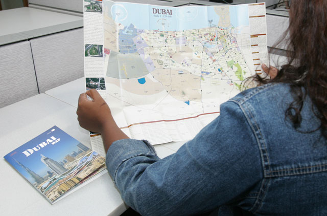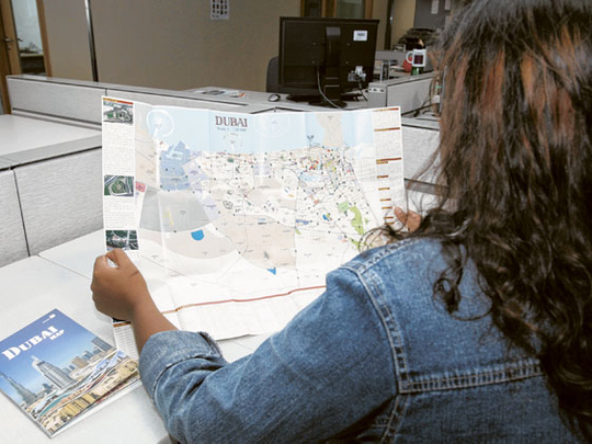
Dubai: Dubai Municipality on Tuesday launched the third edition of Dubai Map, containing full information on the emirate’s attractions and updated names of numbers of areas, roads and projects.
The new Dubai maps will be available at petrol stations, book shops and other retail outlets, said a municipality official.
The map gathers all the data of the emirate including names of bridges, tunnels, government bodies, development projects and details of projects under development, as well as a list of medical facilities, tourist services, commercial centres, recreational facilities, parks and banks.
The map contains three products, a folded guide map, a wall map and a promotional map, Engineer Hussain Nasser Lootah, Director General of Dubai Municipality, said.
“The folded map has an illustrated map of the Dubai on one side, with four detailed windows of the city centre area, Shaikh Zayed Road, Dubai Marina and Hatta,” he said.
Lootah said the map features a naming and numbering system which can be used for geographic navigation system enabling visitors to reach the most important landmarks of the emirate such as tourist destinations, businesses, medical and entertainment facilities easily.
“The second side of the map contains the central area of Dubai city and a window for Dubai Metro lines, so the user can plan his journey and select areas he wishes to visit,” Lootah said.
The wall map measures 198cm x 148cm and includes the same information of the folded map on one side, while the promotional map is a folded pocket-sized map that is easy to read to enables users to find the way to the most important areas in the emirate.
“The maps will be updated every six months in line with the changes in the emirate of Dubai,” Lootah said.


