Is 'super El Niño' coming? UN warns of potentially historic climate event as fossil fuel emissions push planet into danger zone
Planet on edge as looming El Niño threatens to turbocharge heat, floods and drought
The odds are rising fast.
A potentially powerful El Niño is forming in the Pacific Ocean.
Climate scientists warn it could become one of the defining weather events of the decade.
The world just got another climate warning.
Get updated faster and for FREE: Download the Gulf News app now - simply click here.
The World Meteorological Organisation has officially confirmed the return of El Niño in early June 2026.
Scientists now warn: the climate pattern could fuel more extreme weather across the globe in the months ahead.
What is El Niño?
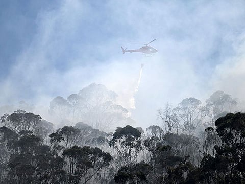
El Niño is a naturally occurring climate pattern caused by unusually warm waters in the central and eastern Pacific Ocean. It disrupts weather systems worldwide, often triggering droughts in parts of Asia and Australia, heavier rainfall in parts of the Americas, crop failures, floods, wildfires and marine heatwaves.
What is "Super El Niño"?
A "Super El Niño" is an informal term used by forecasters to describe an exceptionally strong El Niño event, typically occurring when sea surface temperatures in the equatorial Pacific Ocean rise 2°C or more above average, according to the National Geographic. These massive temperature spikes trigger severe, cascading disruptions to global weather patterns, leading to extreme droughts, devastating floods, and widespread temperature spikes
Where did the term 'El Niño' come from?
In Spanish, "El Niño" translates to "the little boy". Centuries ago, fishermen off the coast of Peru and Ecuador noticed that an unusual warming of the ocean waters occurred every few years, and it typically peaked right around the Christmas season. Over time, this localised seasonal warming became synonymous with the much larger-scale, cyclical climate pattern we know today as the El Niño-Southern Oscillation (ENSO)
When heat builds in the Pacific Ocean
What has experts concerned is the heat already building in the Pacific Ocean.
Sea surface temperatures in parts of the tropical Pacific are running about 6 degrees Celsius above average. That is raising fears that this event could strengthen into a rare "super El Niño."
Those concerns are not new.


The 2023-24 event ranked among the five strongest ever recorded. It helped push global temperatures to record highs in 2024 and contributed to extreme weather in many regions.
Now, scientists are watching closely.
If current trends continue, the world could face another period of intense heat, heavier rainfall in some areas, severe drought in others, and a higher risk of weather extremes worldwide.
The warning comes as global temperatures are already hovering near record highs after the hottest years ever recorded.
The US National Oceanic and Atmospheric Administration (NOAA) has also warned that ocean temperatures in the tropical Pacific are rising rapidly and that conditions are increasingly favourable for El Niño development.
Some forecasts suggest a strong event could emerge by late 2026 and extend into early 2027.
What happened in the recent past?
The previous El Niño in 2023-24 contributed to unprecedented global heat and helped push temperatures into uncharted territory. Scientists now fear the next event could strike a world that is already much warmer than in previous decades.
Is it caused by climate change?
No. Climate experts stress that El Niño itself is not caused by climate change.
However, human-driven warming is making its impacts more severe.
The planet has already warmed by roughly 1.3 degrees Celsius above pre-industrial levels, largely due to the burning of coal, oil and natural gas.
That means every heatwave, drought and flood linked to El Niño now starts from a hotter baseline.
Does it make climate change worse?
Yes. UN Secretary-General António Guterres warned that the developing El Niño could add "more fuel to the fire" of a warming world and renewed calls for a faster transition away from fossil fuels.
The warning highlights a central reality of modern civilisation: despite rapid growth in renewable energy, the global economy remains heavily dependent on fossil fuels.
Coal, oil and natural gas still provide the majority of the world's energy, powering transportation networks, factories, power grids, shipping fleets and aviation.
What's the point about rising global CO2 emissions?
As a result, global carbon dioxide emissions remain near record levels, continuing to trap heat in the atmosphere and oceans.
Climate scientists say that without deep cuts in emissions, future El Niño events are likely to become even more damaging.
What should people do to prepare?
For governments, farmers and disaster agencies, the message from scientists is clear: prepare now.
Whether it brings drought, flooding, crop losses or record-breaking heat, the next El Niño will unfold in a climate system already altered by decades of greenhouse gas emissions, raising the stakes for communities across the globe.
HIGHLIGHTS
Forecasts released in May projected that El Niño could reach very strong levels by autumn 2026.
Some models suggested it may become one of the most powerful events in recent decades, with the following features:

