Thunderstorm in Mumbai: Landing of flights on hold
No inbound flights at Mumbai’s Chhatrapati Shivaji Airport from 9:40 pm (local time)
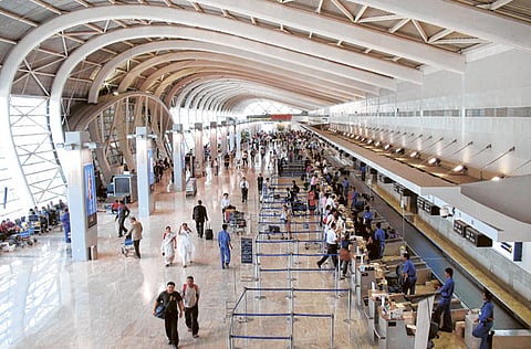
Mumbai: As a thunderstorm hit Mumbai on Monday night, the airport put landing of flights on hold, local media reported, citing poor visibility triggered by heavy rains.
No flights have landed at the airport since 9:40 pm; however, departures are operational, according to Indian media.
Air Vistara, controlled by the Tatas, sent out a tweet stating that its flight UK985 from Delhi to Mumbai has been diverted to Ahmedabad due to bad weather in Mumbai.
Arrival of flights at Mumbai’s Chhatrapati Shivaji International Airport was put on hold on Monday due to clouds and thunderstorm, the reported said, quoting a Mumbai International Airport Pvt. Ltd. spokesperson.
However, as of now departures from the airport are operational. A United Air flight scheduled to land in Mumbai has been diverted to Delhi.
Cyclone Vayu
Meanwhile, cyclone Vayu is expected to hit Gujarat coast on June 12-13, said weathermen.
The Indian Meteorological Department (IMD) has put Gujarat on alert with likely Cyclone Vayu closing in on the Arabian Sea coast bringing heavy rains and winds sweeping across parts of the state at speed ranging from 75 km per hour to a maximum of 135 km.
"The system currently is seen as a depression over the Southeast and East Central Arabian Sea and is centered at 11.2°N and 71°E, around 800 km South-Southwest of Mumbai," according to skymetweather.com
Deep depression
A deep depression is likely to intensify into a cyclonic storm Vayu by Tuesday. "By that time it would be abeam Mumbai.
With long sea travel, low vertical wind shear, and warm sea surface temperatures, the probable cyclone is further expected to gain strength and intensify into a severe cyclone storm," it added.
The cyclone is expected to be closest to the Saurashtra Coast by June 12 and between June 12 and June 14, the western-most parts of Saurashtra and Kutch region in Gujarat could witness squally winds and heavy to very heavy rains, MeT officials said.
"With likely cyclonic storm even intensifying into a severe cyclone, places like Jamnagar, Somnath, Porbander, Dwarka and Nailiya in Kutch" would be impacted, and could even herald pre-monsoons rain across Gujarat.
The cyclone might bring light showers to cities, like Ahmedabad, Gandhinagar, Surat, Rajkot, Veraval and Bhuj on June 12 and June 13.
According to an IMD advisory, the "Wind speed is very likely to increase further becoming gale wind speed reaching 90-100 km/h gusting to 115 km/h over east-central & adjoining northeast Arabian Sea.
It is very likely to be 50-60 km/h gusting to 70 km/h over South Gujarat and Maharashtra Coasts" on June 12, while it could go up to 110-120 km/h gusting to 135 km/h over north Arabian Sea on June 13.
"It is very likely to be 65-75 km/h gusting to 75 km/h over Gujarat coast; and 50-60 km/h gusting to 70 km/h over north Maharashtra Coasts & northern parts of eastcentral Arabian Sea," the IMD added.


