Dubai: Google Research head reveals how AI is helping predict floods, wildfires
New system can detect even small wildfires within minutes
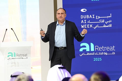
Dubai: About a year after flash floods and the heaviest rainfall hit Dubai, a subject-matter expert has revealed how AI can be used to predict floods, wildfires, and other natural disasters – types of forecasting that have long been out of reach.
During the inaugural Dubai AI Week, Yossi Matias, Vice President and Head of Google Research, noted that during natural crises, people often turn to Google to find accurate information and protect themselves. However, for a long time, accurate forecasting at scale wasn’t possible due to a lack of resources and data. Now, thanks to technological advancements, that has changed.
“We have developed the science,” Matias said, referring to the global hydrological model that processes publicly available weather data such as precipitation and watershed information to predict floods.
Google has also advanced real-time flood forecasting with an operational system that provides alerts via Google Search, Maps, Android notifications, and the Flood Hub. According to Matias, this system can provide predictions up to seven days in advance.
“Even in places that don’t have a lot of good data. So, this is an example where AI can actually solve a problem that is saving lives as we speak now.”
Machine learning has also contributed significantly to progress in weather predictions.
“We’re making progress on precipitation prediction. We have these new models called NeuralGCM and GenCast, and other precipitation and weather forecasting that we can actually use not only for flood prediction but for nowcasting (weather forecasting) in weather.”
Satellite imagery
Google Research has partnered with the United Nations Satellite Center (UNOSAT) and the United Nations Global Pulse-led initiative, Data Insights for Social and Humanitarian Action (DISHA), to develop an AI-enabled solution that assists experts with damage assessments.
“It essentially helps accelerate sending out help to areas after natural disaster by a factor of six or seven.”
In addition, Google Research and satellite manufacturer Muon Space are part of the Earth Fire Alliance, the nonprofit home of FireSat, a system designed to detect even small wildfires within minutes.
“We developed this satellite imagery that the vision is to have sensors that are going to be good enough to actually identify fire, even when it’s the size of a room, 5 by 5 metres. And the plan is to launch 52 satellites that are going to circle the Earth, and identify fire early on,” he added.
