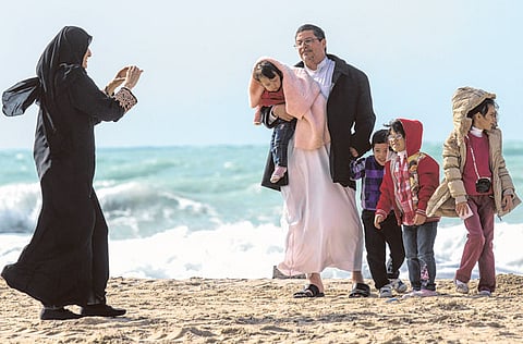
Cold and wind make beaches dangerous
Windy and cold weather expected to continue, with some chances of light rain
Al Ain: The temperature has dropped close to freezing in some of the UAE’s mountainous areas, with strong winds sweeping across coastal and internal regions.
Northwesterly winds reaching 60km/h have been generating high waves offshore, battering ships and vessels in the Arabian Gulf.
The National Centre of Meteorology and Seismology (NCMS) is warning sailors of very rough sea conditions to last for several more days.
Forecasters said the temperature has been bitterly cold in the mountains with frost in high areas. People living or camping in the desert have also been facing severe cold conditions where high winds have been adding to the temperature.
The maximum daytime temperature is expected to hover between 21 and 23 degrees Celsius, going down at night to between 4 degrees Celcius and 1 degree Celcius, depending on the altitude.
The windy and cold weather is expected to last at least for the next couple of days, with some chances of light rain. According the NCMS, the weather will be hazy and partly cloudy, with cloud cover increasing over eastern areas.
“Fresh northwesterly winds will continue over most areas, especially over the western areas. Wind will decrease by evening, becoming easterly during the night from northern and eastern areas, with temperatures tending to decrease, with a chance formation of frost over the mountains by [Thursday] morning,” the NCMS weather report said.
In January temperatures drop due to the influence of the Siberian high pressure that extends to the region. It can change to warmer conditions as the climatic record shows maximum air temperature climbing to 36C in the Asab area in the southwest of Al Ain in 1991. Similarly, the lowest recorded temperature was -1C in Raknah in 2008.
NCMS forecasters said the region this month could be affected by the passing troughs from over the Mediterranean Sea toward the Gulf region. It could also be affected by a Red Sea trough. When these troughs associate with an upper air trough, weather becomes unstable. This helps clouds accumulate at times to give scattered rain in the UAE. The highest accumulated rain fall amount recorded during this month is 208.5mm back in 1969 in Kalba.
A few days ago, the UAE came under the influence of a trough of low pressure from the east and a ridge of high pressure from the northwest over northern and central Saudi Arabia. This system has generated a pressure gradient over the UAE with fresh northwesterly wind flow. The wind became strong at times especially over the sea and moved gradually towards the rest of the country. This also caused blowing sand and dust suspended over scattered areas.
Rough seas have also turned Dubai’s beaches dangerous for swimming and officials have asked people to stay away. Dubai government’s coastal monitoring system on Tuesday reported a one-metre surge on the coastal belt between Palm Jebel Ali and Al Mamzar Beach. The beaches that were declared dangerous include Palm Jebel Ali, Dubal, Dewa, Al Sofooh, Palm Jumeirah, Umm Suqeim 1, 2, and 3, Jumeirah Open Beach, and Al Mamzar.
The national weather bureau forecast similar hazy and partly cloudy weather for Thursday with a chance of frost over the mountains. Winds will become moderately rough to fresh especially over the northern and eastern areas, but will kick up dust and sand at some places. The sea will, however, continue to be rough.