Dubai streets to have new names by next year
22,000 streets in Dubai will be renamed in new address system
Dubai: The emirate’s street renaming project will be complete by next year as all the main streets have already been renamed, while 50 per cent of the internal streets have also been renamed, Gulf News can reveal.
Renaming of streets is part of the new address system which will see Dubai divided into 13 sectors, with each sector subdivided into communities and streets.
Under the new system, each building on a street will also have a unique digitised number that will make locating a place easier.
The project is being jointly carried out by Dubai Municipality and the Roads and Transport Authority.
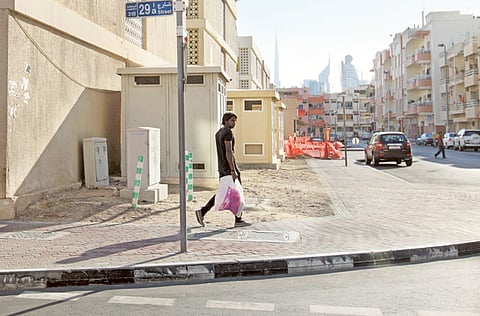
Traditionally, most streets, main roads and highways in Dubai are identified by numbers, which is now gradually changing. Authorities have already renamed some of the prominent streets across various neighbourhoods. For example, Road 312 is now First Al Khail Street, 11a Street is now Al Manara Street, and 319 Street is now Latifa Bint Hamdan Street.
A total of 22,000 major and minor streets will be renamed as part of the project, which is expected to be completed by the end of next year.
Under the current phase of the project, naming of all intersections on Shaikh Zayed Road, Umm Suqeim 1,2, and 3, Al Sufouh 1 and 2 and Dubai Marina have been completed, while work is under way to rename and install new signs in Oud Muteena 1,2; Nad Al Sheba 2,4; Dubai Investment Park and Jebel Ali Industrial Area.
Eng Hussain Nasser Lootah, Director-General of Dubai Municipality, said that the move comes as part of the Dubai Government initiative to rename roads and areas by replacing the old number system with local names in order to preserve the national identity through traditional names inspired by the Emirati culture, in line with international practices in this field.
“The projects include selection of over 7,500 names for different main and internal roads in coordination with RTA, for which the civic body has considered the entire element of Dubai’s history, culture and traditions with the aim at introducing Dubai’s heritage to the generations to come in all ways possible,” Lootah said.
He explained that the mechanism used to name streets in the emirate has been adopted on the basis of different usage and background. Firstly, the areas have been divided into sectors of similar nature in terms of the use and location such as Jumeirah, Zabeel and Jebel Ali, considering the land use, nature of site, historic heritage, development projects, etc.
“For example, streets in a district such as Jumeirah will have names bearing marine features such as boats, fish, marine life, etc, since the area faces the beach and sea. Similarly, streets in Deira and Bur Dubai will have historical and heritage names, while inland areas such as Mushrif and Al Aweer will bear names of local trees, famous Arab personalities, poets, etc,” he added.
Before the implementation of the project studies were also made about the best practices executed by international cities, while initiatives were also launched for the public to suggest names for their locations based on traditional occupations, tools used for the work and other activities of their area such as fishing, hunting, sailing, etc.
“We have already started the implementation of our new address system called ‘Makani’ using digital codes with the aim at helping people of all nationalities reach their desired location without using any language by simply entering the area or building code with a one metre accuracy,” he said.
Pilot
The new address system was launched in 2008 as a pilot in Jumeirah 3 and proved successful, following which a decision was made to have the system for the entire city.
During the pilot, a sector of Shaikh Zayed Road from the 2nd to the 4th Interchange was also selected to implement the Directional Signs System. The names and direction signs used in the pilot have stayed and will stay permanently.
The address system is one of RTA’s largest projects, leading to a large-scale change in the map of Dubai in terms of streets and area names.
Apart from names, the new system is using directions such as north, south, east and west to guide motorists.
The sign ‘north’ leads in the direction of Sharjah and the northern emirates, ‘south’ leads towards Jebel Ali and Abu Dhabi, west towards the sea and east to the mainland.


