Manila: Developers in Manila have warned that the sale of real estate properties will be affected by the release of a new map showing the country's disaster zones.
"Buyers will be guided by the map of disaster zones that was released by the Department of Environment and Natural Resources (DENR)," said real estate agent Sonia Bello, adding that the map will only be useful for those who have lived abroad for years and are unaware which areas are dangerous.
Many of those who have been working abroad have forgotten which areas are in danger of being flooded and subject to landslides, said Bello.
Environment Secretary Ramon Paje told how the map can be found on the DENR's website.
"It says there (in the map), what is the permanent danger zone, what is hazardous and what are the low-lying areas," said Paje, adding that the information from his office will help many sectors, including government agencies in charge of disaster control and building regulation.
The map shows that even upland areas are in danger from soil erosion and landslides.
It will guide government agencies in determining how people should build property on their land and it will also help government officials to identify areas for the building of roads and bridges, said Paje, adding that the map has been in production began in 2006.
It's the first time that a government agency has been allowed to release a nationwide map of disaster prone areas.
"Some areas will be devalued," warned Bello.
The Philippine Institute of Volcanology and Seismology (Phivolcs) was previously prevented from releasing a map of real estate properties that lie on dangerous fault lines, by developers.
Local government officials are in charge of the evacuation of people who are living in dangerous areas, said Paje, adding that DENR's map will be useful for those are willing to move in order to be safe.
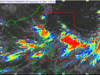
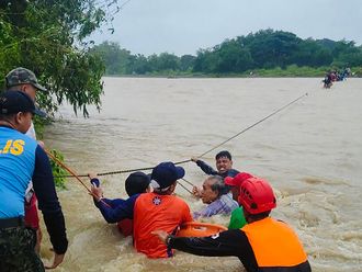
Some 20 typhoons visit the Philippines annually. Several low-lying areas have suffered from floods and landslides and there have been a number of deaths as result.
In 2009, 1,000 people were killed when 80 per cent of Metro Manila, including high-end villages, was flooded with water, after typhoon Ketsana caused heavy rain that lead to landslides. Ketsana was followed by another destructive typhoon.
The Philippines is part of the Asia Pacific's "ring of fire" where earthquakes occur on occasion.


