Tropical storm threatens northern Philippines
Koppu seen peaking at 231kph sustained winds, with 278kph gusts
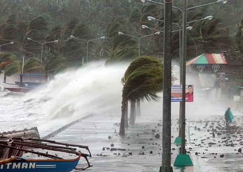
Manila: A tropical depression forming in the western Pacific Ocean that packs winds of up to 231 kph has been eyed off the Marianas and could hit northern Philippines this weekend.
The Stars and Stripes, the official news site of the US military, reported that as of 6:30 pm Tuesday, Oct. 13, Philippines time, the as yet unnamed "Tropical Depression 24W" has spawned west of the Marianas Islands.
“(It) is forecast by the Joint Typhoon Warning Center (JTWC) to almost due west toward landfall over the northeast coast of the Philippines’ northernmost Luzon Island at mid-afternoon Saturday,” the report said.
JTWC projects 24W to peak at 144-mph (231 kph) sustained winds and 173-mph (278 kph) gusts as it crashes ashore at about 2 pm Saturday some 190 miles north-northeast of the former Clark Air Base in Pampanga, Philippines.
No public storm warning signals have been issued by the JTWC at this time. If 24W becomes a named storm, it will be called Koppu, Japanese for “crater”.


